Could be integrated with other data to make more useful application such as:
Creating a proposal
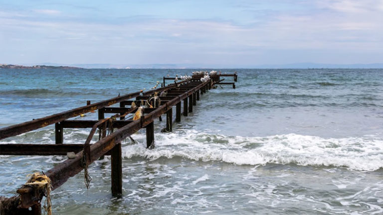
Mobile Panorama 360
Reality Construction Aerial Progress (RECAP)
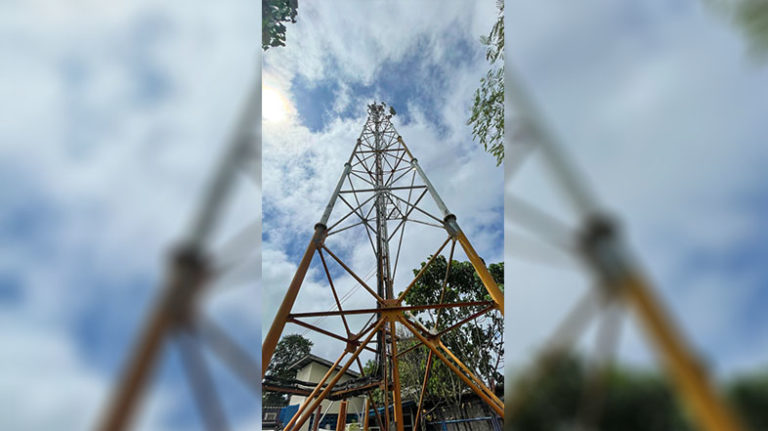
IFCON DRONE
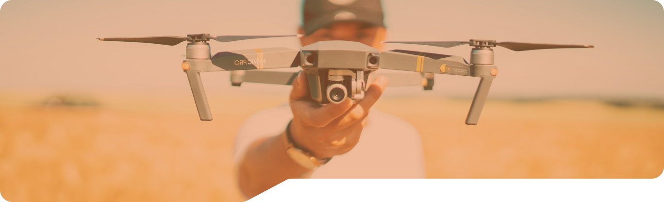
OurEquipment
Multirotors - F8
Workhorse for Industrial Inspection
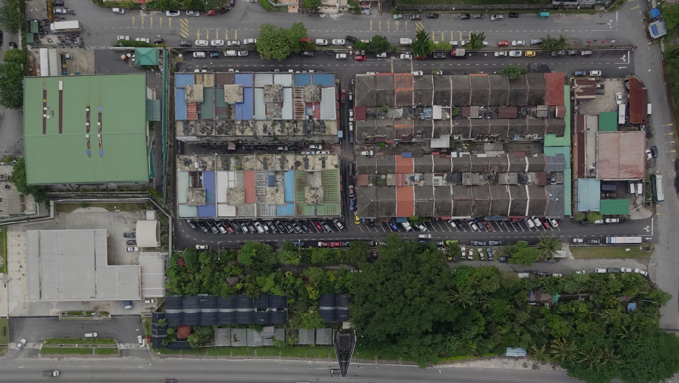
Designed to take aerial oblique photograph either for inspection or surveying. Our V-Shaped Octocoper is made in Germany and designed with sophisticated technology that gives us confident to conduct any aerial photography task. It has been designed with high safety measure where it is Auto Pilot has been tested for more than 100,000 hours. Safety is the most priority in our job, therefore we chose this multi rotors as our chosen workhorse instead if cheap China made multi rotors. When searching for the perfect image it often comes down to only a few centimeters difference in the position of the camera. Our UAV offers this precision. It Allows you the freedom to select your perspective. Beetween light and shadow, horizon and zenith, every subject is available to you - and is often just a “click” away.
Multirotors -i1
Workhorse for Oblique Videography
Designed to take aerial oblique videography. Equipped with latest sensor with 4K resolution for ultra high definition videos. This makes i1 suitable for videography and cinematography . The size of i1 makes it portable enough to carry to anywhere around the world. With advanced functions, it lets users to individually control the camera and aircraft to achieve more accurate shots.
Multirotors - IFAH
Workhorse for Aerial Survilance
IFAH UAV is suitable for various type of industrial applicagons such as search and rescue, security surveillance, offshore inspecgons, marine surveillance and many more other applicagons. IFAH UAV is customizable for many applicagons depending on the client requests and requirements.
Fixed Wing - DT18
Workhorse for Orthophoto / Aerial Mapping Long Range Mission and Large Area
Perfect for linear infrastructure monitoring, precision agriculture, and GIS applications (mapping). Its telecom abilities include video transmission of up to 15 km, command control transmission of 50 km, and a 3G/4G datalink. The craft features removable wings and fail-safe mechanisms for enhanced security, and is capable of autonomous takeoff and landing. Full autonomous flight is enabled by the UAV autopilot system, while an on-board computer, controls the payload (max of 300 g) and telecommunications 1GHz
Fixed Wing - Cumulus One
Workhorse for Orthophoto / Aerial Mapping Long Range Mission and Large Area with Limited Landing Space
Design for GIS applications (mapping). The aircraft could carry more than 600g payloads with deep stall landing capability makes the aircraft is perfect for difficult terrain mapping. The craft features removable wings and fail-safe mechanisms for enhanced security, and is capable of autonomous takeoff and landing. It is highly autonomous fixed wing drone. Flight time up to three hours, hand launched and vertical landing with high precision. This drone also is available for Sale from our company
Fixed Wing - eBee
Workhorse for Orthophoto / Aerial Mapping Short Range Mission with Medium Area
eBee is a professional mapping drone (UAV) by senseFly. Use it to capture aerial photos, then produce orthomosaics and 3D models with absolute accuracy of down to 3 cm per pixel. The size of eBee let users conduct mapping in an urban areas. Require minimum landing and take-off space makes eBee a perfect solution for mapping in town. The weight of eBee is below 750g let the eBee operates in a very safe environment. it will not have a significant damage to either human or infrastructures.
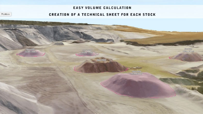
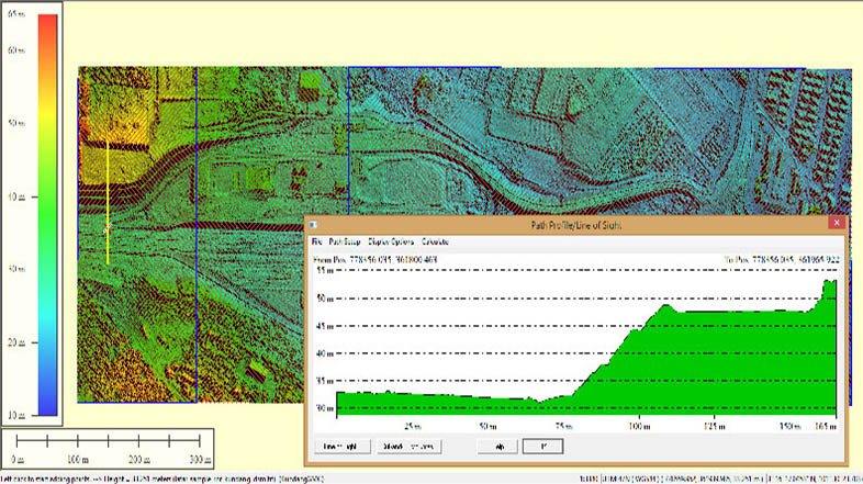
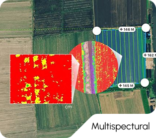
PROVIDE HIGH QUALITY INFORMATION
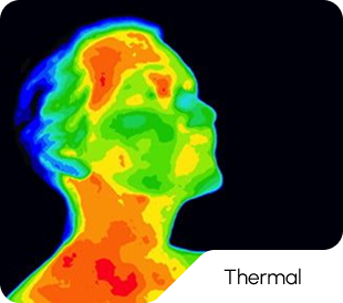
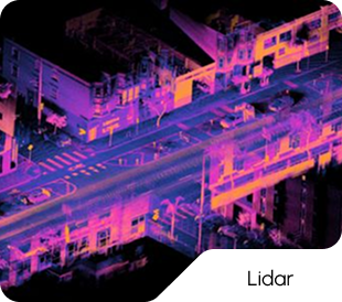
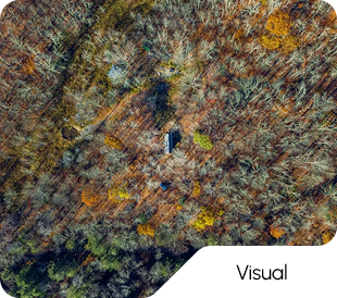
Type ofSensor
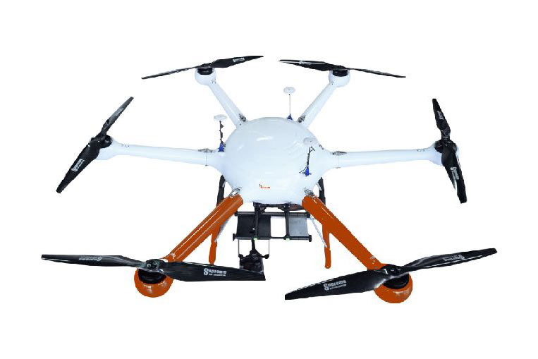
IFCON PRODUCT
IFCON Aerial Hybrid(IFAH)
Additional redundancy for IFAH UAV also include the ability to operate and land safely even in the the event of one motor failure.
IFAH UAV is durable in tropical weather – able to operate in winds of up 30 knots and medium to light rain.
IFAH UAV is durable in tropical weather – able to operate in winds of up 30 knots and medium to light rain.
IFAH UAV is customizable for many applications depending on the client requests and requirements.
IFAH is a hexacopter type heavy-lift hybrid-electric multirotor UAV. Which is able to fly long duration’s it is able to convert a gasoline-powered system into electricity
This hybrid technology gives it extreme flight endurance and redundant power for safe and reliable operations.
The IFAH UAV frame is constructed from composite carbon fibre materials which make the IFAH UAV very strong and durable.
The powertrain arms of IFAH are easily detachable from the main fuselage for easy transportation and storage.
IFAH UAV system is able to be setup and fully operational within 15 – 20 minutes of arrival at site.
Apart from long flight duration and robust build, IFAH UAV is also equipped with triple redundancy flight system, which incorporates 3 GPS, 3 IMU and 3 Magnetic sensor units for the best performance in guidance, navigation and control.
In the case of any interference to the UAVs main control system, two backup systems are ready to take over the flight system in an instance, enabling smooth transition between multiple backup systems.
IFCON PRODUCT
IFAHSpecification
Flight time – 3 to 5 hours
Flight controller – Custom Pixhawk 2.1
A3Pro , Ifagro
Wing Span – 2.3 meters
Max flight Speed -17m/s
Working Voltage – 12s/48v voltage
Fuel consumption 1.5 L/H
Hybrid system with Generator with 2kw Max
Max take of weight – 21kg
Rain Proof
Detachable Main Body and arm for easy mobilization
7 Km Video Downlink & Data (Can be upgraded to up to 50km)
Triple Redundency GPS system
Z30 with 30x zoom Optional Camera
Thermal Camera Flir Or Custom
DSLR / SLR with Gimbal
Dual camera option ( 1 RGB , 1 IR )
Mapir Camera
Custom system
Air quality Measurement for Carbon Monoxide (CO),Nitrogen oxides ( NOx) , Sulfer oxides ( SOx )
Parachute for emergency recovery.
Ping system / GPS Tracker
IFCON PRODUCT
Why Ifcon Aerial Hybrid - IFAH?
IFCON PRODUCT
IFCONPayload Option
Any DSLR / Mirrorless Camera
FLIR XT , XT2
DJI-Z30
Workswell-Wiris
Optopus-Epsilon
Scentroid-DR1000
Our team is ready to help. Let's build great things together
Ready to transform your business? Contact us today to explore how our expertise can help you achieve your goals.